
Our Commitment to Excellence

Who We Are
SULUS Ltd is a dedicated topographical surveying company specializing in comprehensive services such as level design.
The company has been delivering trusted site surveying services across the UK since 2011. We rebranded in 2024 to reflect the evolution of our expertise. We have earned a reputation for professionalism, speed, and consistent results.
Our focus on quality and accuracy has made us trusted partners in the construction and infrastructure sectors across London, Kent, and Cambridgeshire.
Services
We offer a complete suite of surveying services — managing every detail from start to finish with precision and care using cutting edge technology blended with inhouse developed softwares and techniques.
Our team blends structured technical learning with hands-on, real-world experience. Every project sharpens our skills — allowing us to solve challenges efficiently and deliver high-quality outcomes tailored to real site conditions.
Why Choose SULUS for Level Design?
Real-world expertise: We started on-site and understand practical challenges firsthand.
Speed and accuracy: Rapid decisions and meticulous planning mean fewer revisions and on-budget delivery.
Modern tools, proven methods: We blend innovative software and technology with years of hands-on experience.
Proven track record: From urgent fixes to full project packages, clients count on us to get it right the first time.


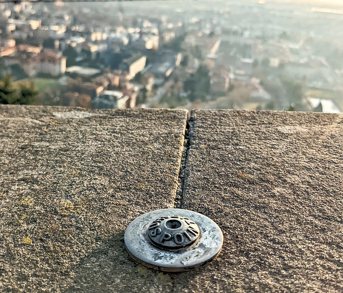
Topographical survey
Provides detailed information about the contours, features, and elevations of a specific area, essential for effective planning and development projects.

As-build survey
An as-built survey is a precise record of a completed construction project, showing the exact dimensions, locations, and features of the built structure compared to the original design plans.
LiDar scanning
LiDAR scanning is a high-precision surveying method that uses laser technology to create detailed 3D models of terrain, structures, or environments by measuring distances with light pulses.

Site setting out
This is the process of transferring architectural and engineering plans to the ground to mark the exact locations, dimensions, and levels where construction elements will be built.

We proudly serve clients in construction, infrastructure, local government, and consulting.


